
Search Orion Township Streets
For a named road or short street segment, begin with the current situs address, the address used to identify a parcel. In Orion Township, a property owner field is a record field, not proof that the person lives there. Keep each source date and each field type in a simple log. A mailing address can be for tax notices, a deed party can be part of a transfer, and a directory head of household reflects only the edition year. That careful split makes the Orion Township street directory useful without turning one record into a claim about everyone at an address.
- Run the address through Orion Charter Township BS&A and record the address, owner or landowner field, and parcel lead.
- Use Oakland County Property Gateway to focus an Orion Township parcel on the map and retain its PIN or KeyPIN, plus the legal description.
- Search the Oakland Super Index with an Orion Township owner name, address, or PIN. Note the grantee, grantor, recording date, document number, and instrument type.
- Check municipal building, planning, or zoning files when a dated project, variance, or certificate matters. Use the Township Clerk or FOIA route for older existing records.
- For an older household question, compare a dated directory, newspaper, census, or obituary rather than treating a current parcel record as an old residency record.
Michigan voter tools are not a street-wide roster. MVIC is designed for an identified voter search, and a geographic QVF request has controlled access and statutory exclusions. It can support lawful verification through its own rules, but it does not make a block-by-block household list available.
Orion Township Street Addresses at BS&A
BS&A's detailed record-search screen is the municipal gateway for tax, utility, and Building Department record leads. The Orion Township landing page visibly offers Address, Name, and Parcel Number choices, together with current tax, utility, building-record, permit, and inspection functions. The research capture did not establish the live detailed-search dropdowns or result columns, so use only the controls that appear in the active application and do not assume a missing result means the Township has no older file.
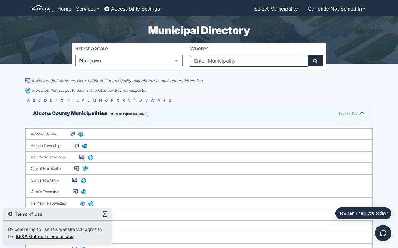
The Orion Township screen supports the municipal side of a street lookup. When a permit or inspection is located, preserve the address, permit number, application date, and named role. A mechanical-permit form shows why that role matters: it can name an owner or applicant but does not establish occupancy.
| Visible field or route | Input | Orion Township use |
|---|---|---|
| Address | Search or autocomplete text | Address-keyed tax, utility, and building-record lead |
| Name | Search or autocomplete text | Owner, person, or business-name lead |
| Parcel Number | Search or autocomplete text | Stable parcel lookup when an address changes |
| Building Department Record Search | Application route | Permit, inspection, and related municipal record lead |
Older permit, planning, and code material may require the Township Clerk, Building Department, or a FOIA request. Orion Township's public request portal is one route, alongside email, fax, mail, an in-person request, another writing, or a verbal request. A request must describe an existing record well enough to locate it, and the adopted policy gives a five-business-day response period with one possible ten-business-day extension.
Note: BS&A does not state a historical start date on its public landing page, so use the custodian for older records rather than guessing coverage.
Orion Township Parcel Map Evidence
Oakland County Property Gateway is the strongest public map layer for an Orion Township street search. It accepts a Property Address or PIN and requires at least five characters. The documented examples include partial address strings such as 1200 S and 123 S V, wildcard forms such as 1% Main, partial PINs such as 14011%, and multiple comma-separated PINs. Zooming to a street segment and clicking parcels produces a map-based route to parcel identity.
The drawn parcel is map context, not a legal survey. Record the KeyPIN, situs address, legal description, assessment or tax year, and any mailing field separately. The county describes KeyPIN as a link to land records. Current and historic aerials, contours, and FEMA flood-map products may be available for an Orion Township parcel, though live layers and paid report options vary by municipality.
- Parcel
- A defined piece of land represented by a county identifier and map geometry.
- Situs address
- The property location used for a parcel, distinct from an owner's mailing address.
- Plat
- A recorded subdivision map that can connect a lot and block to an address trail.
- KeyPIN
- The parcel identifier used to bridge the county map to related land records.
The Lake Orion postal city can appear on a township address, while the Village of Lake Orion remains a separate jurisdiction. Keep the postal string as printed, then verify the municipal label through the parcel record or Township source. That check also prevents a ZIP label from doing more work than it can.
Address-Keyed Orion Township Records
Address-keyed sources answer different questions. The most useful Orion Township address-record trail combines the current parcel identity with a dated document or municipal file. Super Index provides the land-record index, Property Gateway supplies the mapped parcel bridge, and BS&A offers township-facing record routes. Historical directories are a separate, dated source. A single one should not be used to infer a complete household or uninterrupted residence.
| Address record | Keeper | What it can show | Access path |
|---|---|---|---|
| Parcel and assessment lead | Orion BS&A / Property Gateway | Situs, parcel identity, owner or landowner fields, and map context | Public landing and public map |
| Parcel map | Oakland County Enterprise GIS | Parcel geometry, PIN or KeyPIN, aerial and available layers | Property Gateway; reports may be paid |
| Land instrument index | Oakland Clerk/Register of Deeds | Grantor, grantee, document type, recording date, legal description | Free Super Index search; image access is paid |
| Permit and planning file | Orion Building Department / Clerk | Project, inspection, application, variance, or certificate lead | BS&A, FOIA, or counter |
| Historical directory | Libraries and archives | Street and house-number entry for a particular edition | Library or archive; exact Orion runs require confirmation |
The parcel number ties the first three sources together. The road name helps find municipal files and dated print entries, but spelling, suffix, postal city, and house number can change. Preserve all of them in a log before deciding two records refer to the same place.
Deeds Along Orion Township Roads
Oakland County Super Index offers free indexed searching for recorded land documents, while guest image viewing or download is paid. Most public property-record copies in the system reach back to January 1, 1964, except subdivision plat maps. The simple search can take a name, street address, PIN, or recording information. Results can be filtered, sorted, searched by keyword, and opened for indexed detail. The document number is the item to preserve before paying for an image.
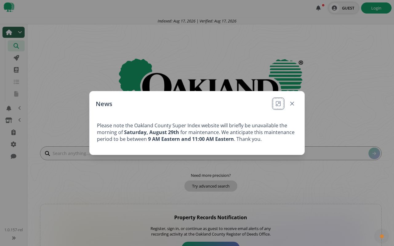
Use the index as a chain, not a household list. Search the current recorded owner as grantee, inspect the purchase instrument, then use its prior party as the next name to search. For an Orion Township parcel, record the grantor, grantee, instrument type, recording date, Liber and Page when shown, document number, and legal description. A recording date dates the document, not necessarily a move.
For documents outside online coverage or a plat not available through the expected result, follow the office or archive path. The Register of Deeds can help with the index, and older tract or grantor-grantee work may require a counter or historical collection. Super Index help is listed at 248-858-0606 and deeds@oakgov.com.
Note: Preserve the document number and legal description before purchasing an image, since indexed searching is free but guest image access is paid.
Orion Township Permit and Planning Files
Permits, inspections, Planning Commission items, and Zoning Board of Appeals files can add a date layer to a road-by-road search. Orion's zoning materials identify maps, amendments, variances, appeals, special land uses, certificates of occupancy, and applications as maintained records. A mechanical-permit form includes street address, city, state, ZIP, owner name and phone, permit number, and the related building-permit question. Those fields explain how one parcel can appear in multiple municipal series.
Use a permit or certificate to place work, an application, or an approval at an address. Do not use it as a statement about who occupied the property. For older existing records, request the identified series from the right office rather than asking the Township to assemble an answer. The Clerk coordinates FOIA, and the public portal, email, fax, mail, counter, and other written channels remain available.
Street Names and Postal Labels
Orion Township records can carry a road abbreviation, former township label, rural-route convention, subdivision name, or Lake Orion postal city. Search each Orion Township variant with a year and a record type. Useful local terms include Bald Mountain, Indianwood, Keatington, Paint Creek, Long Lake, Joslyn Road, Orion Review, and Pine Grove. A name on the township association inventory can help find a plat, newsletter, newspaper notice, or directory entry, but it does not establish membership or a parcel boundary.
No primary source located an exact Orion street-renumbering date or a full historical address crosswalk. A modern address should not be declared identical to an old printed address without a deed, plat, map, directory, or Township confirmation. The Lake Orion Sanborn sheets can provide building and street context for their historical period, not present ownership.
Note: Save the source's exact road spelling, house number, postal city, subdivision, and date before comparing it with the current parcel description.
Historic Orion Township Address Books
The Library of Michigan guide describes Polk street lists as alphabetical by street and then house number. They may show owner or renter status. Bresser and criss-cross volumes reverse the path, starting with the street and house number, and can include a head of household, phone number, owner or renter mark, first year at the address, and new-arrival or relocation information. Exact Orion runs and call numbers were not confirmed in the public capture, so describe them as leads until library staff verify the volume.
A criss-cross directory is an address-order directory. It is useful for a prior edition, but it is not a continuous occupancy record. Orion Library's History and Genealogy resources direct researchers to the Orion History Archive, yearbooks, obituaries, Michigan Memories, and local-history referrals. The historical collections and how to read them are treated in more depth in the Orion Township directory book.
Pair a directory entry with the edition year, a census available under the federal release rule, a deed or plat, and a newspaper or obituary when appropriate. Compare the source labels instead of flattening owner, occupant, and household-head terms into one conclusion.
Note: Exact Orion Township directory runs were not confirmed publicly, so request the title, locality, years, and call number from the holding library.
Orion Township Address Record Limits
Public address records do not produce a complete list of every person on an Orion Township road. They can omit occupants who are not recorded owners, historical household members who do not appear in the selected edition, protected Address Confidentiality Program participants, utility account holders, delivery information, and sensitive voter fields. Michigan does not provide a general DMV address lookup. A mailing field in a property record is also a tax-contact clue, not an occupancy finding.
When a record seems wrong, contact the original custodian. Keep source URL, record type, PIN or document number, date accessed, and the requested correction. A private summary cannot amend the official township, county, court, state, or archive record.
Orion Township Street Search Log
A compact log keeps a street search repeatable. Make one row for parcel identity, one for the recorded party, and one for time and place evidence. The first row holds PIN or KeyPIN, situs, and legal description. The second holds a deed grantor or grantee, tax owner, or permit applicant. The third holds a recording date, directory year, census year, obituary date, or dated community notice. A matching name across all three is stronger than a name-only result, but still does not prove current occupancy.
Use the Township Clerk for a municipal record request, the county Register of Deeds for land-document assistance, and libraries or archives for dated community sources. That keeps an Orion Township street-record search grounded in records with known custodians and known limits.